

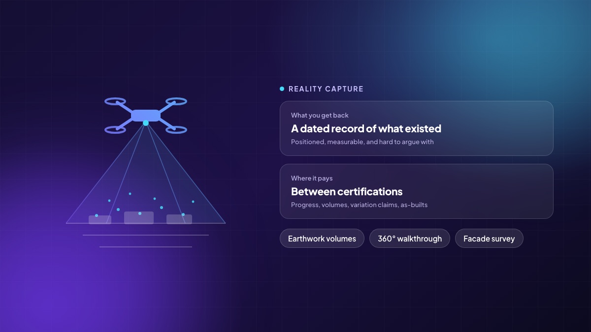
Ask three people on a project what was built by the end of March and you will get three answers, all held sincerely. The site engineer remembers the pour. The contractor remembers the delay that was not their fault. The client remembers what the last report said. None of them is lying; they are all recalling. Reality capture replaces recall with a dated, positioned, measurable record — and that turns out to be worth far more than the drone footage everyone thinks they are buying.
What “reality capture” actually covers
The term bundles several techniques that share one output: a spatially accurate record of what physically existed at a moment in time.
- Drone photogrammetry. Overlapping aerial photographs processed into an orthomosaic and a surface model. Best for open sites, earthworks and external progress.
- Laser scanning. A tripod or handheld scanner producing a dense point cloud. Slower, far more accurate, used where dimensional truth matters — existing structures, MEP coordination, façade set-out.
- 360-degree walkthroughs. A camera carried through the building on a route, with the imagery pinned to the floor plan. Cheap, fast, weekly, and by far the most under-used of the three.
- Fixed cameras. A time-lapse of the site from a constant position. Useful for disputes and for marketing; not measurable.
Where it earns its money, in order
1. Earthwork volumes
Cut and fill quantities are one of the most commonly disputed items on any project, and traditionally they are computed from spot levels taken by a small crew over a large area. A drone survey covers the same ground in a fraction of the time and produces a surface, not a sample. Two surveys a fortnight apart give you the volume moved between them, and the contractor's claim can be checked rather than negotiated.
2. Progress between certifications
Measurement certification happens on a cycle. Everything in between is reported verbally. A weekly 360-degree walkthrough closes that gap: anyone in the head office can inspect any floor as it stood on any Tuesday, without a site visit. When a subcontractor claims a floor was ready and the following trade says it was not, the answer is a link, not a meeting.
3. Variation and delay claims
Claims are won and lost on evidence of site conditions on specific dates. A capture programme creates that evidence as a by-product of normal operations, which means it exists before anyone knows they will need it. This is the single strongest financial argument for the practice, and it is almost never the one in the sales pitch.
4. As-built records and handover
A scan taken before services are boxed in is worth a great deal to whoever maintains the building for the next thirty years. Knowing where a pipe actually runs — rather than where the drawing said it would — converts a future demolition exercise into an access panel.
5. Quality and rework
Comparing a capture against the model catches deviations while they are still cheap: a wall set out on the wrong line, a sleeve missing, a slab level out of tolerance. The earlier the comparison, the smaller the consequence.
The part people forget: you cannot just fly
Drone operation in India is regulated. Operators and aircraft must be registered, the airspace zone matters — green, yellow or red — and flights in controlled or restricted zones need permission. Rules change, so the practical advice is simple: confirm the current requirements before you plan a programme, and use an operator who can show you their registration and insurance rather than one who is cheap. The same applies in the Gulf, where each jurisdiction runs its own permitting regime.
Privacy is the other consideration. A camera flying over a site also sees the neighbouring plot and the road. Have a written position on retention, access and what happens to imagery that captures people.
Designing a capture programme that survives month three
Most programmes start enthusiastically and stop by the third month, because the data has nowhere to go. Four decisions prevent that:
- Fix the cadence and the route. Same day, same path, same altitude. Comparability is the whole point; an ad-hoc capture is a photograph.
- Decide who consumes each output. Volumes go to quantity surveying. Walkthroughs go to the project manager and the client. Scans go to coordination. If an output has no named consumer, stop producing it.
- Attach it to the record, not to a chat thread. A capture that lives in a vendor portal is a capture nobody opens. It should be linked to the project, the work package and the progress claim it supports.
- Budget the processing, not just the flight. The flying is the cheap part. Processing, QA and publishing are where the recurring cost sits.
What it does not do
It does not replace a measurement engineer. It does not certify a bill. It cannot see inside a wall after the wall is closed, which is why the timing of scans matters more than their resolution. And an automatically generated progress percentage is an estimate — useful as an early signal, not as the basis for a payment.
A first month that proves it
Take one project with active earthworks. Fly it twice, three weeks apart, and compute the volume moved. Compare that number to the contractor's claim for the same period. In most organisations that single comparison either pays for the year's programme or tells you your measurement process is already sound — and both of those are useful things to learn in a month.
Written by the Teczen team. If you want to talk through how any of this applies to your projects, book a working session — no slides.